Advertisement

We need your help now

Support from readers like you keeps The Journal open.

You are visiting us because we have something you value. Independent, unbiased news that tells the truth. Advertising revenue goes some way to support our mission, but this year it has not been enough.

If you've seen value in our reporting, please contribute what you can, so we can continue to produce accurate and meaningful journalism. For everyone who needs it.
Google Maps

3.6-magnitude earthquake strikes North Yorkshire

Small tremor recorded in northern England just after 9pm yesterday.

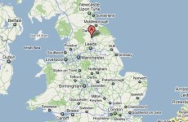
AN EARTHQUAKE MEASURING 3.6 on the Richter scale has been recorded at North Yorkshire, England, just weeks after a small earthquake was felt in the region.

British Geological Survey recorded the tremor about 9km north of Ripon, North Yorkshire, shortly after 9pm last night.

The BGS says an earthquake of this scale could be felt up to between 80km and 100km away, and this is the largest earthquake in the area since June 1970.

A spokesperson from the BGS told the BBC that given the strength of the earthquake, which only lasted a few seconds, it was unlikely to have caused any damage. BGS has posted a map marking where reports of the earthquake have been made.

On 21 December, a tremor of 3.5 on the Richter scale was detected in Cumbria.

Readers like you are keeping these stories free for everyone...
A mix of advertising and supporting contributions helps keep paywalls away from valuable information like this article. Over 5,000 readers like you have already stepped up and support us with a monthly payment or a once-off donation.

Close
JournalTv
News in 60 seconds