Advertisement

We need your help now

Support from readers like you keeps The Journal open.

You are visiting us because we have something you value. Independent, unbiased news that tells the truth. Advertising revenue goes some way to support our mission, but this year it has not been enough.

If you've seen value in our reporting, please contribute what you can, so we can continue to produce accurate and meaningful journalism. For everyone who needs it.
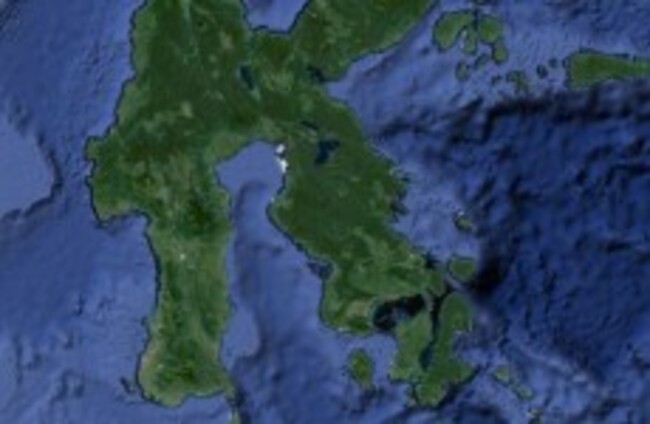
Indonesia Google Maps

Volcano kills 5, 'shoots smoke and ash 2,000m into the air'

A 5.0 earthquake hit 188km northwest of Indonesia, the US Geological Survey also said.

Updated 12.40pm

INDONESIA’S NATIONAL DISASTER Mitigation Agency says a volcano has erupted in eastern Indonesia, killing five people and shooting smoke and ash up to 2,000 metres into the air.

The agency confirmed the eruption in a Tweet, saying Mount Rokatenda in East Nusa Tenggara province erupted early this morning and that the five were killed by lava flow.

The US Geological survey said a quake measured 5.0 on the Richter scale in the area.

Nearly 3,000 people have been evacuated from the area on Palue island. The volcano has been rumbling since October 2012.

Indonesia, an archipelago of 240 million people, is prone to earthquakes and volcanic activity because it sits along the Pacific “Ring of Fire,” a horseshoe-shaped series of fault lines.

Read: At least 54 dead in twin China quakes: government>

Readers like you are keeping these stories free for everyone...
A mix of advertising and supporting contributions helps keep paywalls away from valuable information like this article. Over 5,000 readers like you have already stepped up and support us with a monthly payment or a once-off donation.

Close
31 Comments
    Submit a report
    Please help us understand how this comment violates our community guidelines.
    Thank you for the feedback
    Your feedback has been sent to our team for review.
    JournalTv
    News in 60 seconds