Advertisement

We need your help now

Support from readers like you keeps The Journal open.

You are visiting us because we have something you value. Independent, unbiased news that tells the truth. Advertising revenue goes some way to support our mission, but this year it has not been enough.

If you've seen value in our reporting, please contribute what you can, so we can continue to produce accurate and meaningful journalism. For everyone who needs it.

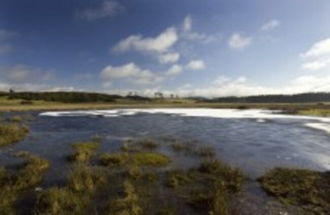
The partially ice covered Lough Ban ( The White Lake), in the morning light on the Curragh Plains in County Kildare Eamonn Farrell/Photocall Ireland

New website monitors 'real time' water levels

The site was launched by Minister of State Brian Hayes TD, as part of flood risk management in Ireland.

A NEW WEBSITE has been launched that monitors water levels as part of managing flood risk around the country.

The site, www.waterlevel.ie, went live recently and was launched today by Brian Hayes, TD, Minister of State with special responsibility for the Office of Public Works (OPW). The website was created by the hydrometric section his office, the OPW.

How it works

The OPW operates surface water monitoring stations at over 380 river, lake and tidal locations throughout Ireland. The website provides access to real time water level data at over 300 of these stations and the website supports OPW in its role as the lead agency for flood risk management in Ireland.

It also provides support to local authorities in dealing with flood events nationwide. Recent visits to the site have increased, which Hayes said can be attributed to heavy rain forecasts and a rainfall warning for the Dublin area issued by Met Éireann.

The Minister said:

In addition to the value of the data to support the operations of the OPW and Local Authorities, the data is also of interest to a range of other users, including members of the public and clubs involved in a wide variety of water-related recreational activities, such as fishing, boating, canoeing and kayaking.

He said that the site has been designed to be simple and easy to use, with raw data that can be easily downloaded by users for reuse. Water level data is typically updated every 15 minutes for each station.

Read: Dublin’s water restrictions to be eased, though reduced pressures remain>

Readers like you are keeping these stories free for everyone...
A mix of advertising and supporting contributions helps keep paywalls away from valuable information like this article. Over 5,000 readers like you have already stepped up and support us with a monthly payment or a once-off donation.

Close
18 Comments
    Submit a report
    Please help us understand how this comment violates our community guidelines.
    Thank you for the feedback
    Your feedback has been sent to our team for review.
    JournalTv
    News in 60 seconds