Advertisement

We need your help now

Support from readers like you keeps The Journal open.

You are visiting us because we have something you value. Independent, unbiased news that tells the truth. Advertising revenue goes some way to support our mission, but this year it has not been enough.

If you've seen value in our reporting, please contribute what you can, so we can continue to produce accurate and meaningful journalism. For everyone who needs it.
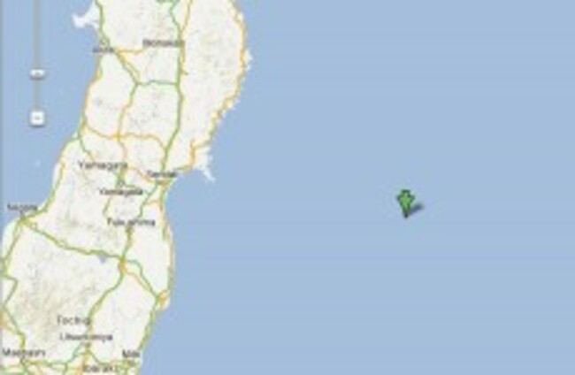
A map from the US Geological Survey shows where the earthquake hit in the past hour. USGS via Google Maps

Japan hit by series of earthquakes and 1-metre tsunami

No reports of injuries although the location of quake, off the coast of Sendai and Miyaki prefecture, raised ghost of the 2011 earthquake and tsunami.

Updated 13.31

JAPAN HAS BEEN hit by a series of earthquakes off the east coast of Honshu, Japan, this morning. A tsunami of 1-metre height has hit the Miyaki prefecture coastline, but so far no damage nor injuries have been recorded.

The US Geological Survey recorded a tremblor of 7.3 magnitude which struck at 08.18am (that’s 18.18 local time). The epicentre was 284km away from Sendai, which was badly hit by the earthquake and resulting tsunami of 11 March 2011.

A tsunami alert was issued after today’s quake and it was felt as far away as Tokyo, 462km away from the epicentre. The alert has now been lifted. There is an hour’s time difference between Tokyo and the epicentre of the quake, so people were commuting home after work when they felt the tremblors. The quake hit at a depth of 36.1km under the earth.

A second earthquake has hit off the coast, but closer to landfall, at the time of 08.31 here (18.31 local time). This latest one is 6.2 magnitude and is at a depth of 29.2km.

The English language TV channel NHK World has been showing the quake as it hit Tokyo and said that people in vulnerable areas were initially told to move to higher ground as a precaution. Management at the Fukushima Daiichi plant say that there has been no damage to the plant.

Several further tremblors have hit off the coast, most of those off the coast of Ishinomaki, and one 255km off the coast of Ofunato,  between 08.48 our time (18.48 local) and 12.58 (22.58). These measured on a scale between 5.5 and 4.6.

The 8.9 magnitude 2011 quake had its hypocentre at an underwater depth of 32km and was 129km from Sendai.

This is the information being released by the measuring tools of the USGS this morning:

This is the second quake, which hit at 08.31 our time, 18.31 local time:

This is the scene at the coastline at the city of Ishinomaki, where the 1-metre wave hit a little while ago. As mentioned, there are no injuries nor damage recorded and authorities have now lifted the tsunami alert:

(Still via NHK World)

This map shows the location of the quakes (where the largest multi-ringed red spot is):

(via USGS)

A quick guide to the Richter Scale>

Readers like you are keeping these stories free for everyone...
A mix of advertising and supporting contributions helps keep paywalls away from valuable information like this article. Over 5,000 readers like you have already stepped up and support us with a monthly payment or a once-off donation.

View 27 comments
Close
27 Comments
    Submit a report
    Please help us understand how this comment violates our community guidelines.
    Thank you for the feedback
    Your feedback has been sent to our team for review.
    JournalTv
    News in 60 seconds